Learn from industry professionals about Topographic Map Generation Using Drones. In this upcoming webinar, we will present the following topics:
Generation of topographic maps using drone images
3 different ways of extraction ground elevation data in DatuSurvey™
Export topo-points and break lines in the range of formats
Build height contours from the exported data in CAD
Finalize the map in CAD systems
Roundtable Q&A
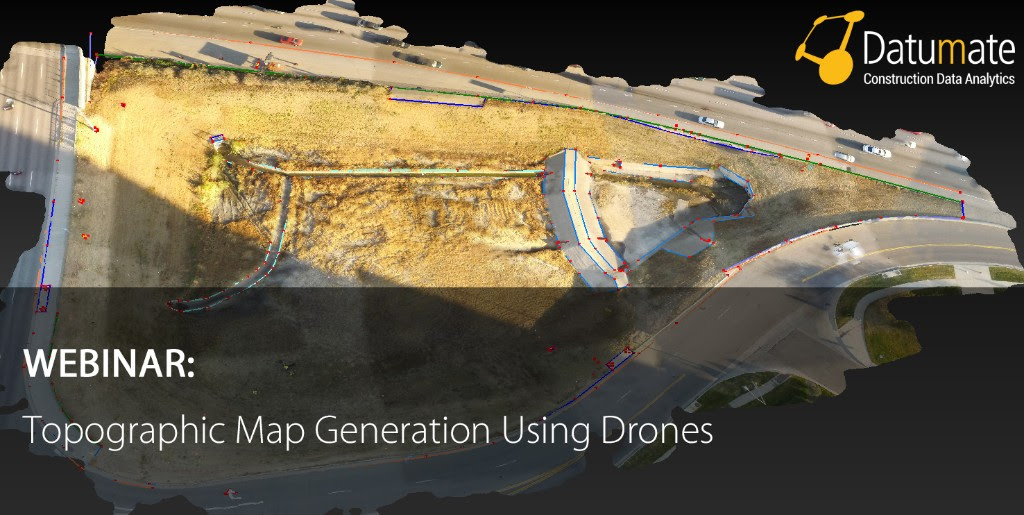
Datumate solutions turn drone and camera imagery into accurate, geo-referenced 2D maps and 3D models, saving the need for expensive and risky field work while expediting deliveries. This 3D mapping software features survey-grade accuracy and an intuitive workflow, designed especially for land surveyors and geospatial professionals. Datumate solutions provide multiple outputs, including: 3D vector CAD models, 3D point cloud and texture models, True-Orthophoto, volume calculations, reports and more. Click here to learn more about Datumate’s solutions.
Webinar Hosts:
Younan S. Hakim
Sr. Product Manager
Datumate
Natalia Kovalski
Mapping and Geo-Information Engineer
Datumate